


10,3 km | 19,1 km-effort

Usuario


Aplicación GPS de excursión GRATIS
 SityTrail
IGN / Institutos geográficos
SityTrail World
El mundo es suyo
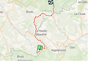
Ruta Bici de montaña de 45 km a descubrir en Auvergne-Rhône-Alpes, Drôme, Valdrôme. Esta ruta ha sido propuesta por tracegps.
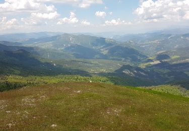
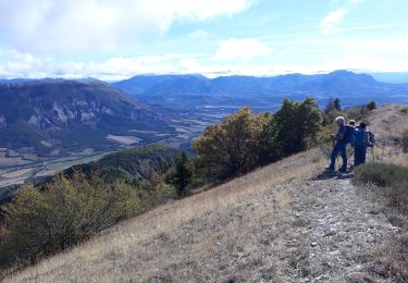
2ème jour : Valdrôme > Lus La Croix Haute 8h00 : c'est reparti pour « the single day ». On ne sera pas déçu. Montée roulante de quelques km sur piste pour s'échauffer puis on enchaîne sur du single à gogo..... La suite est ICI
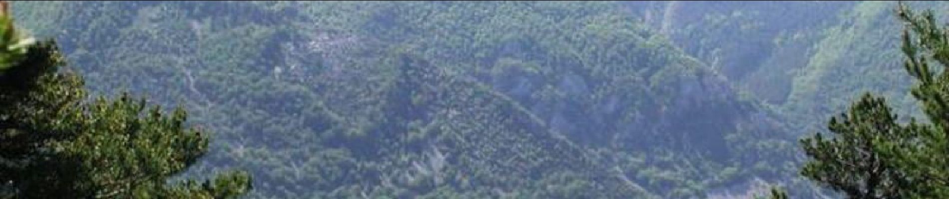
 - Photo 1")
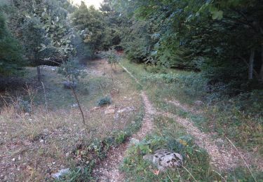
 - Photo 2")

Senderismo
Bici de montaña

Bici de montaña

Senderismo
Senderismo
Senderismo
Senderismo

Senderismo
Senderismo