


14,1 km | 20 km-effort

Usuario


Aplicación GPS de excursión GRATIS
 SityTrail
IGN / Institutos geográficos
SityTrail World
El mundo es suyo
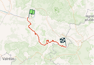
Ruta Bici de montaña de 89 km a descubrir en Auvergne-Rhône-Alpes, Drôme, Saillans. Esta ruta ha sido propuesta por tracegps.
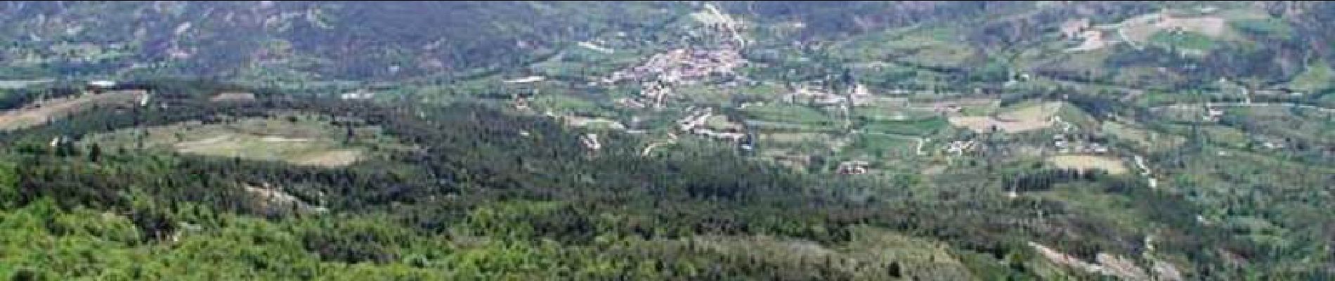
1er jour : Saillans --> Valdrôme 8h00 : c'est parti pour de bon. Petit tour dans le village et on attaque par 18 km de montée en passant par le col du hérisson et le hameau de la chaudière dont on comprendra rapidement le pourquoi du nom... La suite est ICI
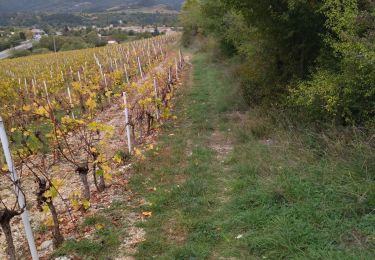
 - Photo 1")
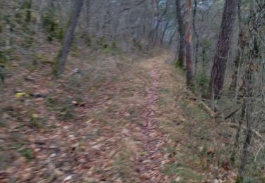
 - Photo 2")

Senderismo

Senderismo

Bici de montaña
Senderismo

Senderismo

Senderismo

Senderismo

Senderismo
Senderismo