


8,6 km | 12 km-effort


Usuario


Aplicación GPS de excursión GRATIS
 SityTrail
IGN / Institutos geográficos
SityTrail World
El mundo es suyo
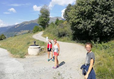
Ruta Senderismo de 12,2 km a descubrir en Auvergne-Rhône-Alpes, Saboya, La Plagne-Tarentaise. Esta ruta ha sido propuesta por gilsep.
Tour du mont Rosset avec le sommet.
Départ de Forand. Garer la voiture au petit parking. Pas de difficulté particulière. Très beaux paysages et refuge de la Balme très accueillant.
Senderismo

Senderismo

Senderismo

Senderismo
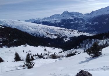
Esquí de fondo

Esquí de fondo

Senderismo
Senderismo

Raquetas de nieve