


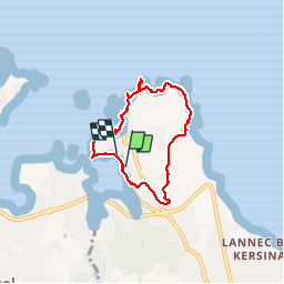

11,1 km | 13,6 km-effort

Usuario


Aplicación GPS de excursión GRATIS
 SityTrail
IGN / Institutos geográficos
SityTrail World
El mundo es suyo
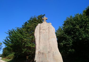
Ruta Senderismo de 5,8 km a descubrir en Bretaña, Côtes-d'Armor, Perros-Guirec. Esta ruta ha sido propuesta por olibreizh.
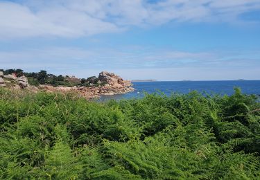
Petit tour de Ploumanac'h en passant par la côte de granit rose. Magnifiques points de vue sur la côte et les sept iles


Senderismo

Senderismo
Senderismo

Senderismo

Senderismo

Senderismo
Senderismo

Senderismo
Senderismo