


24 km | 33 km-effort

Usuario


Aplicación GPS de excursión GRATIS
 SityTrail
IGN / Institutos geográficos
SityTrail World
El mundo es suyo
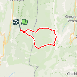
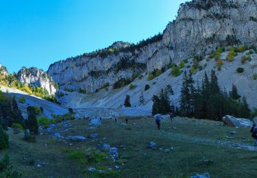
Ruta Senderismo de 21 km a descubrir en Auvergne-Rhône-Alpes, Drôme, Saint-Agnan-en-Vercors. Esta ruta ha sido propuesta por choubaka77.
Superbe rando. Attention 6h sans les pauses. Une ascension physique mais sans difficulté majeure, attention, une descente rapide dans un première temps puis un long chemin très roulant pour le retour.


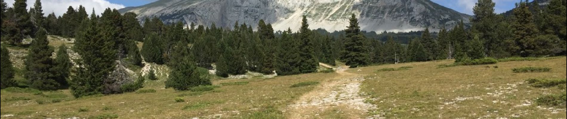
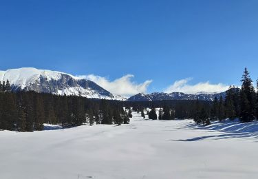
23 fotos en total. Haga clic en una foto para mostrarlas todas en la galería.

Senderismo

Senderismo

Senderismo

Senderismo

Raquetas de nieve
Senderismo
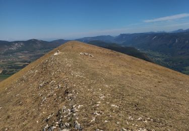
Senderismo
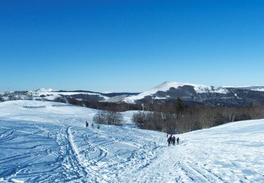
Raquetas de nieve
Senderismo