


39 km | 44 km-effort
Región de Bratislava: Descubra las mejores excursiones: 13 a pie y 1 en bici o bici de montaña. Todos estos circuitos, recorridos, itinerarios y actividades al aire libre están disponibles en nuestras aplicaciones SityTrail para smartphone y tablet.
A pie


• Ruta creada por KST Studienka.
A pie
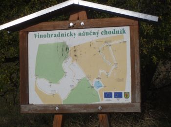
• Símbolo: education
A pie
• Símbolo: education Sitio web: http://naucnechodniky.eu/naucny-chodnik-male-levare/
A pie
• Ruta creada por Správa cestovného ruchu Senec.
A pie
• Oficiálne stránky mesta Pezinok a MsÚ Pezinok Sitio web: https://www.pezinok.sk/?yggid=247
A pie
• Símbolo: education
A pie
• Símbolo: education
A pie
• Símbolo: education
A pie
• Ruta creada por Malokarpatský banícky spolok. Símbolo: education
A pie
• Símbolo: education Sitio web: http://www.horneoresany.sk/naucny-chodnik/
Senderismo

Cicloturismo

Barco a motor

Senderismo
Senderismo
15 excursiones mostradas en 15
Aplicación GPS de excursión GRATIS
 SityTrail
IGN / Institutos geográficos
SityTrail World
El mundo es suyo