


13,1 km | 18,3 km-effort
okres Tvrdošín: Descubra las mejores excursiones: 3 a pie. Todos estos circuitos, recorridos, itinerarios y actividades al aire libre están disponibles en nuestras aplicaciones SityTrail para smartphone y tablet.
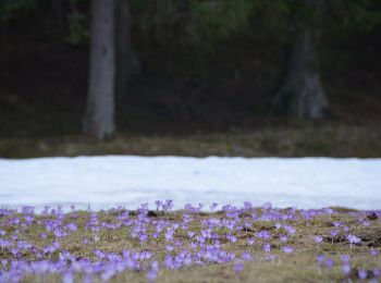
A pie


• Símbolo: education
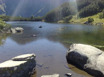
A pie
• Símbolo: education
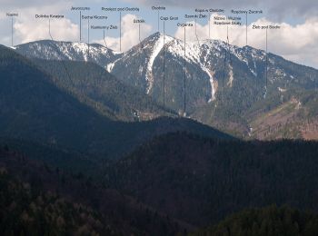
A pie
• Símbolo: education

Esquí de fondo
4 excursiones mostradas en 4
 SityTrail