![](/images/other/stat-length.png)
- Excursiones
- Outdoor
- Slovakia
- Región de Košice
- Desconocido
- okres Košice - okolie
okres Košice - okolie, Desconocido: Los mejores itinerarios de excursión, recorridos, paseos y sendas
okres Košice - okolie: Descubra las mejores excursiones: 7 a pie. Todos estos circuitos, recorridos, itinerarios y actividades al aire libre están disponibles en nuestras aplicaciones SityTrail para smartphone y tablet.
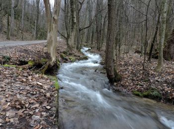
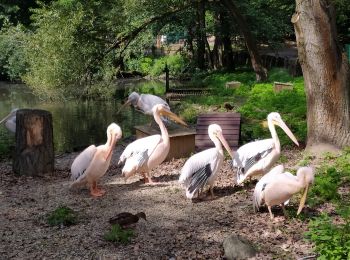
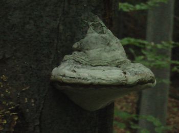
Los mejores recorridos (7)
![Excursión A pie okres Košice - okolie - Náučný chodník Zádielska tiesňava - Photo](https://media.geolcdn.com/t/350/260/cd7d41a2-2ae2-468e-a628-205ef24f5bb8.jpeg&format=jpg&maxdim=2)
![A pie A pie](https://static1.geolcdn.com/sitytour/trail-icons/100.png)
Km
A pie
![](/images/other/stat-length.png)
![](https://static1.geolcdn.com/siteimages/upload/files/1508320355ic_sort_den_pos_24dp.png)
![](https://static1.geolcdn.com/siteimages/upload/files/1508320355ic_sort_den_neg_24dp.png)
![](https://static1.geolcdn.com/siteimages/upload/files/16400158638029165_repeat_loop_refresh_sync_direction_icon.png)
• Ruta creada por KST. Símbolo: education
![Excursión A pie okres Košice - okolie - Náučný chodník Ku Kráľovej studni - Photo](https://media.geolcdn.com/t/350/260/39cd4757-054e-4536-a83f-63b8afbf0a31.jpeg&format=jpg&maxdim=2)
![A pie A pie](https://static1.geolcdn.com/sitytour/trail-icons/100.png)
Km
A pie
![](/images/other/stat-length.png)
![](https://static1.geolcdn.com/siteimages/upload/files/1508320355ic_sort_den_pos_24dp.png)
![](https://static1.geolcdn.com/siteimages/upload/files/1508320355ic_sort_den_neg_24dp.png)
![](https://static1.geolcdn.com/siteimages/upload/files/16400158638029165_repeat_loop_refresh_sync_direction_icon.png)
• Ruta creada por OZ Dedinka, Kostoľany nad Hornádom. Símbolo: education
![Excursión A pie okres Košice - okolie - Náučný lesný chodník Košická Belá - Photo](https://media.geolcdn.com/t/350/260/4aa9d587-1e6a-49c8-9ecf-b8dee0d5b384.jpeg&format=jpg&maxdim=2)
![A pie A pie](https://static1.geolcdn.com/sitytour/trail-icons/100.png)
Km
A pie
![](/images/other/stat-length.png)
![](https://static1.geolcdn.com/siteimages/upload/files/1508320355ic_sort_den_pos_24dp.png)
![](https://static1.geolcdn.com/siteimages/upload/files/1508320355ic_sort_den_neg_24dp.png)
![](https://static1.geolcdn.com/siteimages/upload/files/16400158638029165_repeat_loop_refresh_sync_direction_icon.png)
• Ruta creada por Mestské lesy Košice. Símbolo: education
![Excursión A pie okres Košice - okolie - Orechový les - Photo](https://media.geolcdn.com/t/350/260/c3d2fbe2-47b9-4dec-91ad-1b47a6738d0e.jpeg&format=jpg&maxdim=2)
![A pie A pie](https://static1.geolcdn.com/sitytour/trail-icons/100.png)
Km
A pie
![](/images/other/stat-length.png)
![](https://static1.geolcdn.com/siteimages/upload/files/1508320355ic_sort_den_pos_24dp.png)
![](https://static1.geolcdn.com/siteimages/upload/files/1508320355ic_sort_den_neg_24dp.png)
![](https://static1.geolcdn.com/siteimages/upload/files/16400158638029165_repeat_loop_refresh_sync_direction_icon.png)
• weak marking, may not be 100% accurate
![Excursión A pie okres Košice - okolie - Torysko-Olšavský okruh zdravia - Photo](https://media.geolcdn.com/t/350/260/c3d2fbe2-47b9-4dec-91ad-1b47a6738d0e.jpeg&format=jpg&maxdim=2)
![A pie A pie](https://static1.geolcdn.com/sitytour/trail-icons/100.png)
Km
A pie
![](/images/other/stat-length.png)
![](https://static1.geolcdn.com/siteimages/upload/files/1508320355ic_sort_den_pos_24dp.png)
![](https://static1.geolcdn.com/siteimages/upload/files/1508320355ic_sort_den_neg_24dp.png)
![](https://static1.geolcdn.com/siteimages/upload/files/16400158638029165_repeat_loop_refresh_sync_direction_icon.png)
• Sitio web: http://www.regionhornad.sk/kam-ist/kam-cyklotrasou-h-t-h/krajom-polianok-na-rozmedzi-abova-a-zemplina/
![Excursión A pie okres Košice - okolie - Radar - Photo](https://media.geolcdn.com/t/350/260/c3d2fbe2-47b9-4dec-91ad-1b47a6738d0e.jpeg&format=jpg&maxdim=2)
![A pie A pie](https://static1.geolcdn.com/sitytour/trail-icons/100.png)
Km
A pie
![](/images/other/stat-length.png)
![](https://static1.geolcdn.com/siteimages/upload/files/1508320355ic_sort_den_pos_24dp.png)
![](https://static1.geolcdn.com/siteimages/upload/files/1508320355ic_sort_den_neg_24dp.png)
![](https://static1.geolcdn.com/siteimages/upload/files/16400158638029165_repeat_loop_refresh_sync_direction_icon.png)
• marking is mostly missing
![Excursión A pie okres Košice - okolie - SK-8829 - Photo](https://media.geolcdn.com/t/350/260/ext.jpg?maxdim=2&url=https%3A%2F%2Fstatic1.geolcdn.com%2Fsiteimages%2Fupload%2Ffiles%2F1545311037marcheuse_200dpi.jpg)
![A pie A pie](https://static1.geolcdn.com/sitytour/trail-icons/100.png)
Km
A pie
![](/images/other/stat-length.png)
![](https://static1.geolcdn.com/siteimages/upload/files/1508320355ic_sort_den_pos_24dp.png)
![](https://static1.geolcdn.com/siteimages/upload/files/1508320355ic_sort_den_neg_24dp.png)
![](https://static1.geolcdn.com/siteimages/upload/files/16400158638029165_repeat_loop_refresh_sync_direction_icon.png)
• Ruta creada por KST. Símbolo: major
7 excursiones mostradas en 7
Aplicación GPS de excursión GRATIS