


22 km | 30 km-effort
Mureș: Descubra las mejores excursiones: 38 a pie y 1 en bici o bici de montaña. Todos estos circuitos, recorridos, itinerarios y actividades al aire libre están disponibles en nuestras aplicaciones SityTrail para smartphone y tablet.
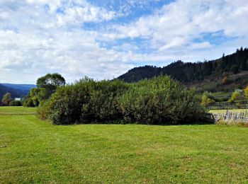
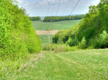
A pie


• Symbol: Yellow cross on white background
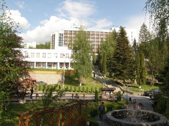
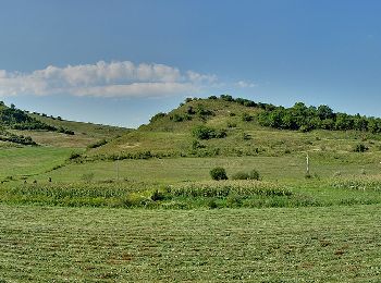
A pie
• Symbol: triunghi albastru
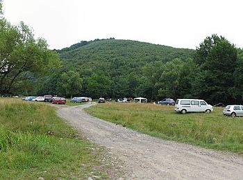
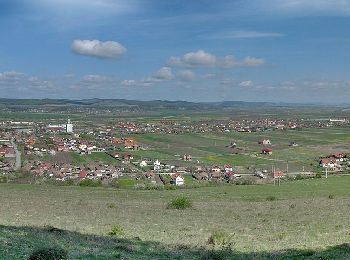
A pie
• Symbol: punct albastru
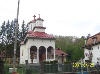
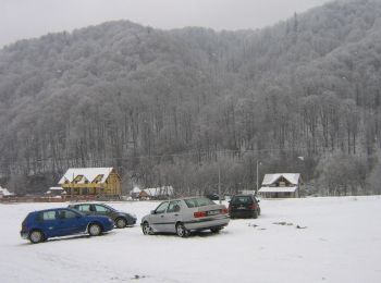
A pie
• Symbol: punct albastru
A pie
• Symbol: Blue cross
A pie
• Symbol: Yellow dot with white border
A pie
• Symbol: cruce roșie
A pie
• Symbol: cruce albastră
A pie
• Symbol: bandă roșie
A pie
• Symbol: bandă roșie
A pie
• Symbol: punct roșu
A pie
• Symbol: bandă albastră
A pie
• Symbol: cruce roșie
A pie
• Symbol: bandă albastră
A pie
• Symbol: bandă roșie
A pie
• Symbol: cruce albastră
A pie
A pie
A pie
A pie
20 excursiones mostradas en 39
Aplicación GPS de excursión GRATIS
 SityTrail
IGN / Institutos geográficos
SityTrail World
El mundo es suyo