


77 km | 114 km-effort
Desconocido: Descubra las mejores excursiones: 171 a pie. Todos estos circuitos, recorridos, itinerarios y actividades al aire libre están disponibles en nuestras aplicaciones SityTrail para smartphone y tablet.
A pie


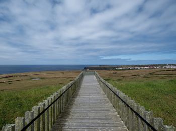
• Discover the hiking route Great Route of Santa Maria. View the map and download the GPS track. Sitio web: http://tra...
A pie
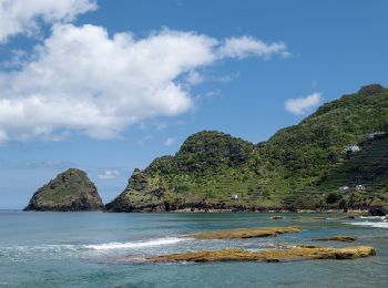
• This linear route connects Praia Formosa (south coast) to Baía of São Lourenço (northeast coast), making the connecti...
A pie
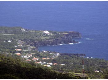
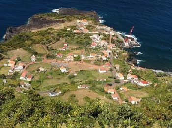
• Leads to Velas
A pie
• This circular route in the village of Ribeirinha evolves partially in the protected area for habitats and species man...
A pie
• Discover the hiking route PRC38SMI Lomba D'EL Rei. View the map and download the GPS track. Sitio web: http://trails...
A pie
• Discover the hiking route PR21SMI Padrão das Alminhas - Salto da Farinha. View the map and download the GPS track. S...

A pie
• Symbol: Yellow over Red
A pie
• Descubra o percurso pedestre PRC11PIC Calheta do Nesquim. Consulte o Mapa e faça download do GPS. Sitio web: http://...

A pie
• Symbol: Yellow over Red
A pie
• Discover the hiking route PRC36SMI Pedra Queimada - Lajinha - Degredo. View the map and download the GPS track. Siti...
A pie
• Discover the hiking route PR12SMI Trilho do Agrião. View the map and download the GPS track. Sitio web: http://trail...
A pie
• Discover the hiking route PRC6SJO Trilho do Norte Pequeno. View the map and download the GPS track. Sitio web: http:...
A pie
• Discover the hiking route PR4SJO Pico do Pedro – Pico da Esperança – Fajã do Ouvidor. View the map and download the G...

A pie
• Discover the hiking route PR15PIC Mistérios do Sul do Pico. View the map and download the GPS track. Sitio web: http...
A pie
• Discover the hiking route PR13PIC Lagoa do Capitão. View the map and download the GPS track. Sitio web: http://trail...
A pie
• Discover the hiking route PR1PIC Caminhos de Santa Luzia. View the map and download the GPS track. Sitio web: http:/...
A pie
• Discover the hiking route PR2PIC Caminho dos Burros: vertente Norte. View the map and download the GPS track. Sitio ...
A pie
• Discover the hiking route PR7PIC Caminho das Voltas. View the map and download the GPS track. Sitio web: http://trai...
A pie
• Symbol: Yellow over Red
A pie
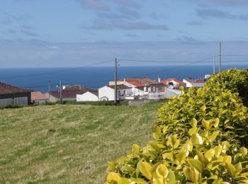
• Discover the hiking route PR4SMA Santo Espírito. View the map and download the GPS track. Sitio web: http://trails.v...
20 excursiones mostradas en 242
Aplicación GPS de excursión GRATIS
 SityTrail
IGN / Institutos geográficos
SityTrail World
El mundo es suyo