


3,5 km | 3,8 km-effort
powiat nowodworski: Descubra las mejores excursiones: 5 a pie. Todos estos circuitos, recorridos, itinerarios y actividades al aire libre están disponibles en nuestras aplicaciones SityTrail para smartphone y tablet.
A pie


• Symbol: biały kwadrat przekreślony na żółto
A pie
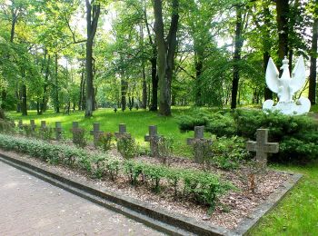
• Trail created by Nowy Dwór Mazowiecki.
A pie
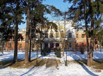
• Trail created by Nowy Dwór Mazowiecki.
A pie
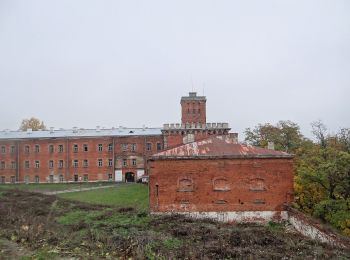
• Trail created by Nowy Dwór Mazowiecki.

A pie
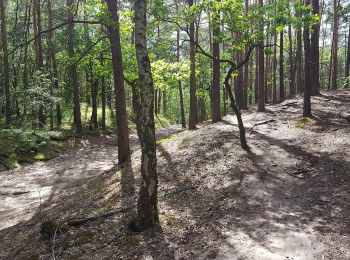
• Trail created by Kampinoski Park Narodowy. Symbol: biały kwadrat przekreślony na zielono
5 excursiones mostradas en 5
Aplicación GPS de excursión GRATIS
 SityTrail
IGN / Institutos geográficos
SityTrail World
El mundo es suyo