


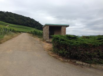
8,9 km | 13 km-effort
Wormeldange: Descubra las mejores excursiones: 7 a pie. Todos estos circuitos, recorridos, itinerarios y actividades al aire libre están disponibles en nuestras aplicaciones SityTrail para smartphone y tablet.
A pie


• Symbol: stilisiertes weißes S und H auf lila Grund
A pie

A pie
A pie
Marcha nórdica

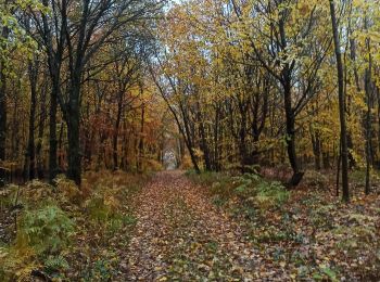
Senderismo
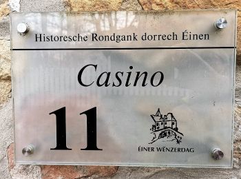
• Kelsbaach
Senderismo
7 excursiones mostradas en 7
Aplicación GPS de excursión GRATIS
 SityTrail
IGN / Institutos geográficos
SityTrail World
El mundo es suyo