


11,2 km | 11,8 km-effort
Lao People's Democratic Republic: Descubra los 33 mejores circuitos de excursión a pie o en bici. Nuestro catálogo, preparado manualmente por nuestros excursionistas, está lleno de magníficos paisajes para explorar. Descargue estos itinerarios en SityTrail, nuestra aplicación de GPS de excursiones gratis disponible en Android e iOS.
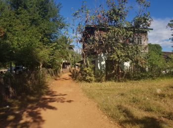
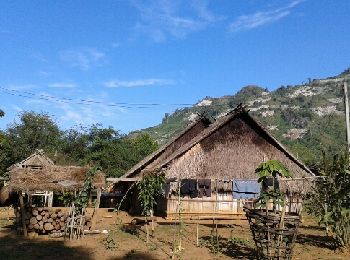
Senderismo


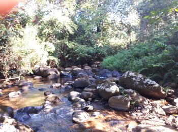
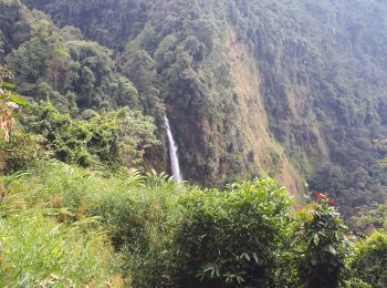
Senderismo
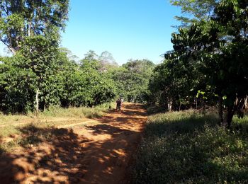
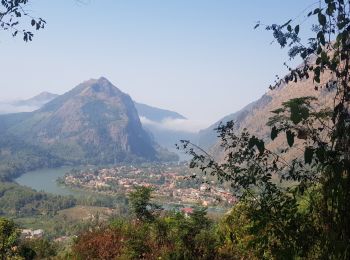
Senderismo
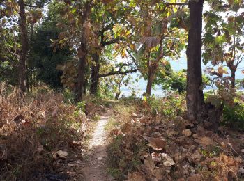
Senderismo
Senderismo
Senderismo
Senderismo
Senderismo
Senderismo
Senderismo
Senderismo
Barco a motor
Senderismo
• randonnée aller et retour trace retour de la porte Mong au village
Senderismo

Senderismo
Senderismo

Senderismo
Senderismo

Bici de montaña
Senderismo
20 excursiones mostradas en 33
Aplicación GPS de excursión GRATIS
 SityTrail
IGN / Institutos geográficos
SityTrail World
El mundo es suyo