


5,1 km | 12,5 km-effort
Acceglio: Descubra las mejores excursiones: 65 a pie. Todos estos circuitos, recorridos, itinerarios y actividades al aire libre están disponibles en nuestras aplicaciones SityTrail para smartphone y tablet.
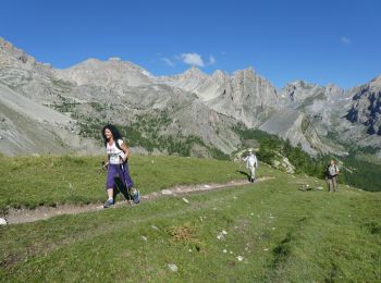
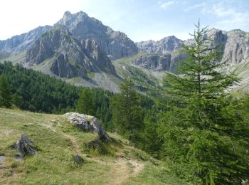
A pie


• Trail created by Club Alpino Italiano. Symbol: white bar on red background
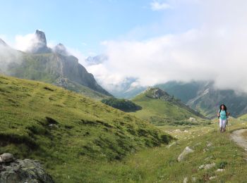
A pie
A pie
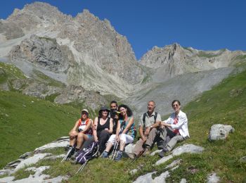
Senderismo
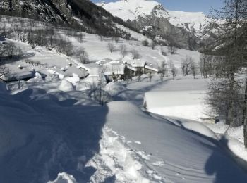
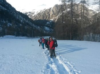
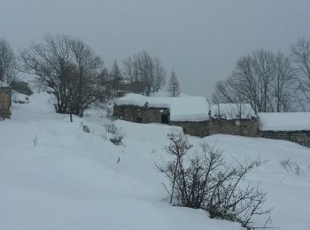
Raquetas de nieve
•
Raquetas de nieve
•
Raquetas de nieve
•

A pie
• Trail created by Club Alpino Italiano. Symbol: white bar on red background
A pie
• Symbol: red bar on blue background
A pie
• Trail created by Club Alpino Italiano. Symbol: white bar on red background
Senderismo
Senderismo
Senderismo
Senderismo
Raquetas de nieve
•
A pie
A pie
A pie

Senderismo
Senderismo
20 excursiones mostradas en 75
Aplicación GPS de excursión GRATIS
 SityTrail
IGN / Institutos geográficos
SityTrail World
El mundo es suyo