


4,7 km | 7,1 km-effort
Verbania: Descubra las mejores excursiones: 10 a pie y 2 en bici o bici de montaña. Todos estos circuitos, recorridos, itinerarios y actividades al aire libre están disponibles en nuestras aplicaciones SityTrail para smartphone y tablet.
A pie


• Report maintained by path detectors CAI SOSEC Piemonte - MT Symbol: white red flag
A pie
• Report maintained by path detectors CAI SOSEC Piemonte - MT Symbol: white red flag
A pie
• Report maintained by path detectors CAI SOSEC Piemonte - MT Symbol: white red flag
A pie
• Relation with photos (click on → Web site) mantained by Danilo (CAI Pallanza) Symbol: P00 on white red flag
A pie
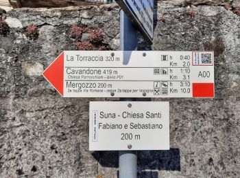
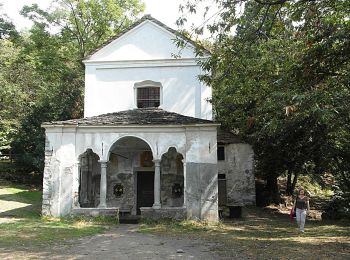
• Relation with photos (click on → Web site) mantained by Danilo (CAI Pallanza) Symbol: A00 on white red flag Sitio ...
A pie
• Trail created by CAI Pallanza. Relation with photos (click on → Web site) mantained by Danilo (CAI Pallanza) Symbol...

Bici de montaña
• More information on GPStracks.nl : http://www.gpstracks.nl

A pie
• Report maintained by path detectors CAI SOSEC Piemonte - MT Symbol: unmarked / white red flag
A pie
• Club Alpino Italiano Sezioni Est Monte Rosa - Associazione delle Sezioni del Club Alpino Italiano delle Province del ...
Bicicleta
• More information on GPStracks.nl : http://www.gpstracks.nl

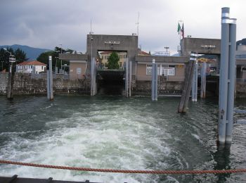
Barco a motor
Piragüismo

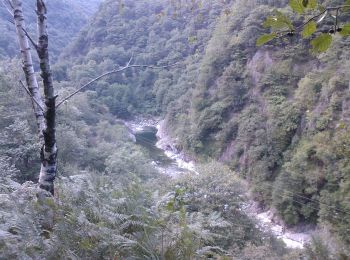
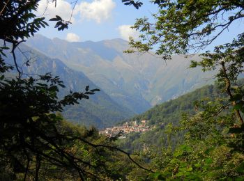
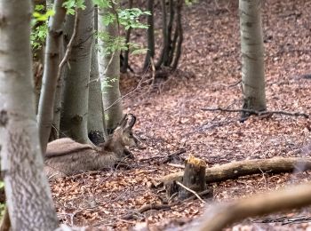
Senderismo
Senderismo
14 excursiones mostradas en 14
Aplicación GPS de excursión GRATIS
 SityTrail
IGN / Institutos geográficos
SityTrail World
El mundo es suyo