


8,2 km | 16,6 km-effort
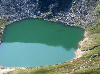
Pollone: Descubra las mejores excursiones: 7 a pie. Todos estos circuitos, recorridos, itinerarios y actividades al aire libre están disponibles en nuestras aplicaciones SityTrail para smartphone y tablet.
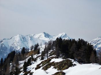
A pie


• Rifugio Coda - Rifugio della Barma Alte Vie Sitio web: http://www.lovevda.it/it/banca-dati/7/alte-vie/valle-d-aosta...
A pie
• Sentiero Italia CAI 2019
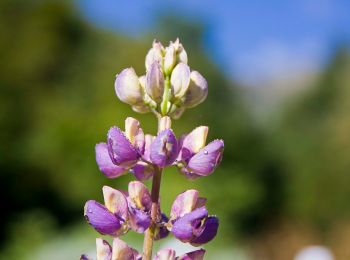
A pie

A pie
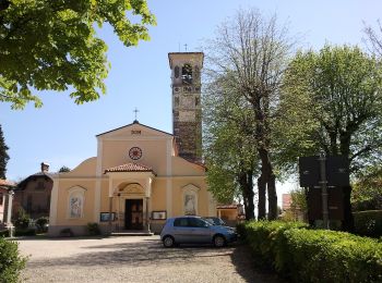
A pie
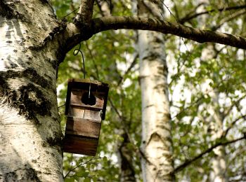
A pie

A pie
7 excursiones mostradas en 7
Aplicación GPS de excursión GRATIS
 SityTrail
IGN / Institutos geográficos
SityTrail World
El mundo es suyo