


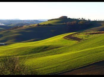
7,9 km | 9,4 km-effort
Pienza: Descubra las mejores excursiones: 15 a pie. Todos estos circuitos, recorridos, itinerarios y actividades al aire libre están disponibles en nuestras aplicaciones SityTrail para smartphone y tablet.
A pie


• Trail created by Parco Artistico, Naturale e Culurale della Val d'Orcia.
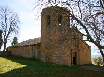
A pie
• Trail created by Comune di Pienza.
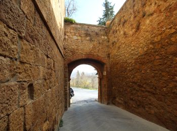
A pie
• Trail created by Comune di Pienza.
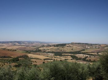
A pie
• Trail created by Comune di Pienza.

A pie
• Trail created by Comune di Pienza.
A pie
• Trail created by Comune di Pienza.
A pie
• Trail created by Comune di Pienza.
A pie
• Trail created by Comune di Pienza.
A pie
• Trail created by Comune di San Quirico d'Orcia.
A pie
• Trail created by Comune di Chianciano Terme.
A pie
• Trail created by Parco Artistico, Naturale e Culurale della Val d'Orcia. Symbol: 4 on white red flags
A pie
• Trail created by Comune di San Quirico d'Orcia.
A pie

Senderismo
• More information on GPStracks.nl : http://www.gpstracks.nl
Senderismo
15 excursiones mostradas en 15
Aplicación GPS de excursión GRATIS
 SityTrail
IGN / Institutos geográficos
SityTrail World
El mundo es suyo