


4,5 km | 5,3 km-effort
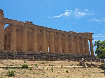
Agrigento: Descubra las mejores excursiones: 10 a pie. Todos estos circuitos, recorridos, itinerarios y actividades al aire libre están disponibles en nuestras aplicaciones SityTrail para smartphone y tablet.
Senderismo


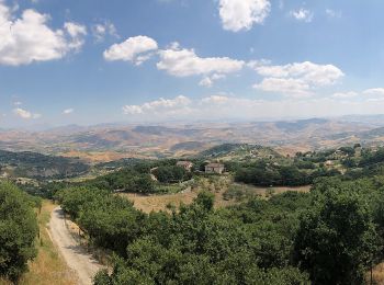
A pie
• Trail created by Dipartimento dello Sviluppo Rurale e Territoriale - Regione Siciliana.
Senderismo
Coche

A pie
• Trail created by Dipartimento dello Sviluppo Rurale e Territoriale - RegioneSiciliana.
A pie
• Trail created by Club Alpino Italiano - Giuseppe Traina.

Senderismo

Senderismo
Senderismo

Piragüismo

Coche
Coche
Coche
Senderismo
Avión
Senderismo
16 excursiones mostradas en 16
Aplicación GPS de excursión GRATIS
 SityTrail
IGN / Institutos geográficos
SityTrail World
El mundo es suyo