


16,1 km | 33 km-effort
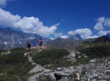
Valtournenche: Descubra las mejores excursiones: 24 a pie. Todos estos circuitos, recorridos, itinerarios y actividades al aire libre están disponibles en nuestras aplicaciones SityTrail para smartphone y tablet.
A pie


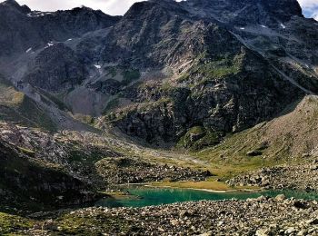
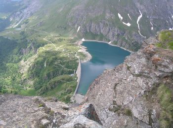
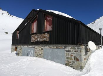
• Rifugio Barmasse - Rifugio Cunéy Alte Vie Sitio web: http://www.lovevda.it/it/banca-dati/7/alte-vie/valle-d-aosta/r...
A pie
• Valtournenche - Rifugio Barmasse Alte Vie Sitio web: http://www.lovevda.it/it/banca-dati/7/alte-vie/valle-d-aosta/v...
A pie
• Sentiero Italia CAI 2019
A pie
• Sentiero Italia CAI 2019
A pie
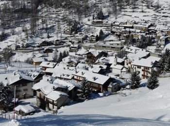
• Trail created by Comune di Valtournenche.
A pie
• Trail created by Comune di Valtournenche.
A pie
• Trail created by Comune di Valtournenche.
A pie
• Trail created by Comune di Valtournenche.
Senderismo

A pie
• Trail created by Comune di Valtournenche.
A pie
• Trail created by Comune di Valtournenche.
A pie
• Trail created by Comune di Valtournenche.
Otra actividad
•
Otra actividad
•

Senderismo
Senderismo
Senderismo
Senderismo
Senderismo
• 1350 m négatif
Senderismo
• Vue l'impossibilité de traverser le torrent pour monter au Bec d'Aran - plan B sur le sentier du Grand Tournalin
20 excursiones mostradas en 28
Aplicación GPS de excursión GRATIS
 SityTrail
IGN / Institutos geográficos
SityTrail World
El mundo es suyo