


12,7 km | 18,8 km-effort
Roncofreddo: Descubra las mejores excursiones: 5 a pie. Todos estos circuitos, recorridos, itinerarios y actividades al aire libre están disponibles en nuestras aplicaciones SityTrail para smartphone y tablet.
A pie


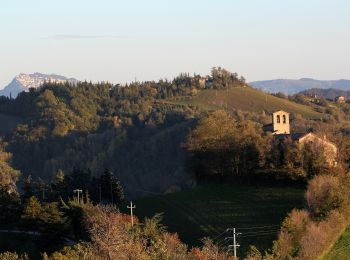
• Trail created by Comune di Roncofreddo. Symbol: rettangolo rosso con banda verticale bianca. testo in nero

A pie
• Trail created by Comune di Roncofreddo. Symbol: rettangolo rosso con banda verticale bianca. testo in nero
A pie
• Trail created by Comune di Roncofreddo. Symbol: rettangolo rosso con banda verticale bianca. testo in nero
A pie
• Trail created by Comune di Roncofreddo. Symbol: rettangolo rosso con banda verticale bianca. testo in nero
A pie
• Trail created by Comune di Roncofreddo. Symbol: rettangolo rosso con banda verticale bianca. testo in nero
5 excursiones mostradas en 5
Aplicación GPS de excursión GRATIS
 SityTrail
IGN / Institutos geográficos
SityTrail World
El mundo es suyo