


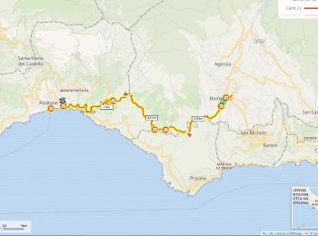
28 km | 41 km-effort
Italy: Descubra los 12.630 mejores circuitos de excursión a pie o en bici. Nuestro catálogo, preparado manualmente por nuestros excursionistas, está lleno de magníficos paisajes para explorar. Descargue estos itinerarios en SityTrail, nuestra aplicación de GPS de excursiones gratis disponible en Android e iOS.
A pie


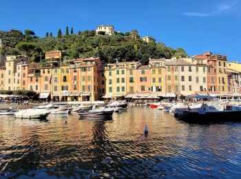
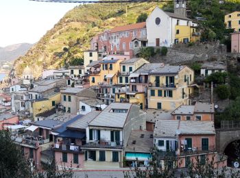
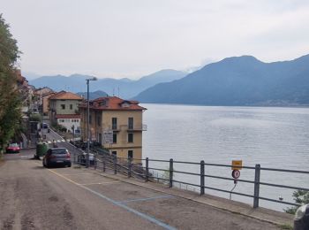
• Troisième journée du séjour Les cinque terre et le golf des poètes par Chemins du sud Randonnée hors des cinq terres...
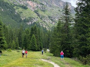
Senderismo
Senderismo
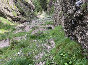
Senderismo
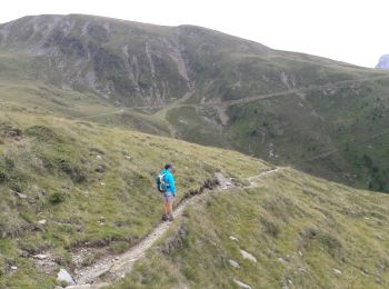
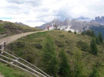
• Faite le 27/07/2017 avec notre fils Théo de 12 ans.
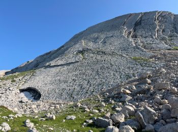
Senderismo
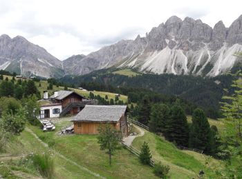
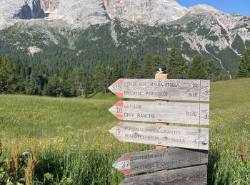
• Faite le 26/07/2017 avec notre fils Théo de 12 ans. Montée en téléphérique depuis la Skihütte, retour à pied.
Senderismo
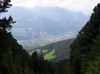
• Faite le 25/07/2017 avec notre fils Théo de 12 ans.
Senderismo
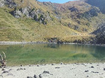
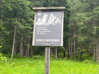
• Faite le 22/07/2017 avec notre fils Théo de 12 ans.
Senderismo

Senderismo
•
Senderismo
Senderismo
Senderismo
Senderismo
Senderismo
Senderismo
Senderismo
Senderismo
Senderismo

Senderismo
Senderismo
20 excursiones mostradas en 12630
Aplicación GPS de excursión GRATIS
 SityTrail
IGN / Institutos geográficos
SityTrail World
El mundo es suyo