


12 km | 13,6 km-effort
Kenmare Municipal District: Descubra las mejores excursiones: 43 a pie y 4 en bici o bici de montaña. Todos estos circuitos, recorridos, itinerarios y actividades al aire libre están disponibles en nuestras aplicaciones SityTrail para smartphone y tablet.
A pie


• OSi Discovery Series Sheet 71 Sitio web: http://www.irishtrails.ie/Trail/Keel-Uphill-Downhill-Loop-Walk/666/
A pie
A pie
A pie
Senderismo
Senderismo
Senderismo
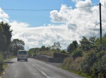
Coche

Senderismo
Bici de montaña

Senderismo
Senderismo
Senderismo
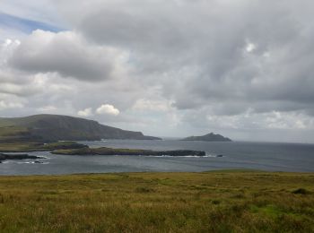
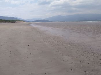
• Magnifiques vues sur la cote, les îles Skelling, les champs de moutons, etc.
Senderismo
Senderismo
•

Otra actividad
•
Otra actividad
•
Otra actividad
•
Otra actividad
•
Otra actividad
•
20 excursiones mostradas en 61
Aplicación GPS de excursión GRATIS
 SityTrail
IGN / Institutos geográficos
SityTrail World
El mundo es suyo