


22 km | 32 km-effort
Indonesia: Descubra los 34 mejores circuitos de excursión a pie o en bici. Nuestro catálogo, preparado manualmente por nuestros excursionistas, está lleno de magníficos paisajes para explorar. Descargue estos itinerarios en SityTrail, nuestra aplicación de GPS de excursiones gratis disponible en Android e iOS.
Senderismo


Otra actividad

Barco a motor
Piragüismo

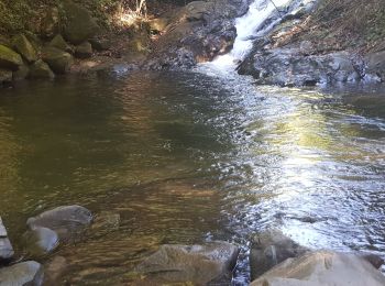
Senderismo
Senderismo
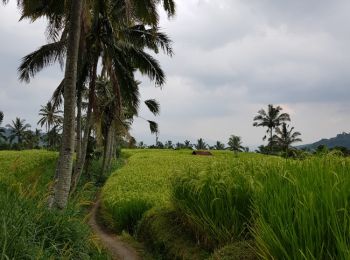
• Randonnée dans les Rizières
Senderismo
• Projet: Ascention du mont Batur pour y admirer le lever du soleil
Senderismo
Senderismo
Senderismo
Senderismo
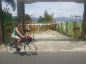
Bicicleta
•
 3.512
3.512
sport
Senderismo
Barco a motor

Otra actividad
Otra actividad
Otra actividad
Senderismo
20 excursiones mostradas en 34
Aplicación GPS de excursión GRATIS
 SityTrail
IGN / Institutos geográficos
SityTrail World
El mundo es suyo