


5 km | 9,3 km-effort
Osječko-baranjska županija: Descubra las mejores excursiones: 9 a pie. Todos estos circuitos, recorridos, itinerarios y actividades al aire libre están disponibles en nuestras aplicaciones SityTrail para smartphone y tablet.
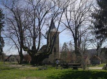
A pie


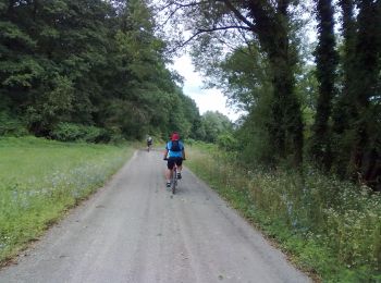
A pie
A pie
A pie
A pie
A pie
A pie
A pie

A pie
9 excursiones mostradas en 9
 SityTrail