


10,6 km | 15,6 km-effort
Περιφερειακή Ενότητα Ρεθύμνης: Descubra las mejores excursiones: 29 a pie. Todos estos circuitos, recorridos, itinerarios y actividades al aire libre están disponibles en nuestras aplicaciones SityTrail para smartphone y tablet.
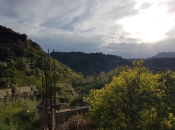
Senderismo


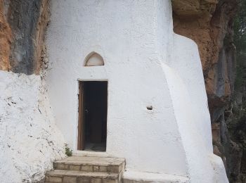
Senderismo
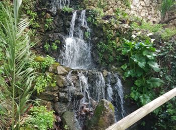
Senderismo
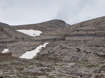
Senderismo
Senderismo
Senderismo
Senderismo

Senderismo
• Intérêt rando moyenne. 1h en plus pour le sommet et visite du club de vacances
Senderismo
• Sentier littoral et belles plages sauvages
Senderismo
• + A/R Palmeraie
Senderismo
Senderismo
Senderismo
Senderismo
Senderismo
Senderismo
• More information on GPStracks.nl : http://www.gpstracks.nl
Senderismo
Senderismo
Senderismo
Senderismo
20 excursiones mostradas en 29
Aplicación GPS de excursión GRATIS
 SityTrail
IGN / Institutos geográficos
SityTrail World
El mundo es suyo