


9,4 km | 15,5 km-effort
Δημοτική Ενότητα Θήρας: Descubra las mejores excursiones: 25 a pie. Todos estos circuitos, recorridos, itinerarios y actividades al aire libre están disponibles en nuestras aplicaciones SityTrail para smartphone y tablet.
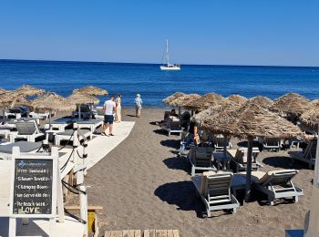
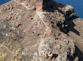
Senderismo


Senderismo
Senderismo
Senderismo

Senderismo
 22.926
sport

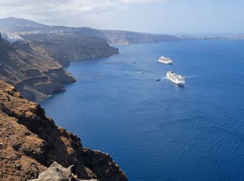
Senderismo

Senderismo
Senderismo
Senderismo

Barco a motor
8.47
sport

Coche
Avión
Senderismo
Senderismo
Senderismo
Senderismo
Barco a motor
Senderismo
20 excursiones mostradas en 32
Aplicación GPS de excursión GRATIS
 SityTrail
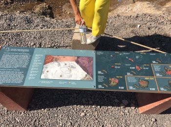
IGN / Institutos geográficos
SityTrail World
El mundo es suyo