


10,2 km | 15,2 km-effort
Powys: Descubra las mejores excursiones: 10 a pie. Todos estos circuitos, recorridos, itinerarios y actividades al aire libre están disponibles en nuestras aplicaciones SityTrail para smartphone y tablet.
A pie


A pie
• Ruta creada por University of Wales, Gregynog. Símbolo: Red Arrows
A pie
• Ruta creada por University of Wales, Gregynog. Símbolo: Blue Arrows
Senderismo
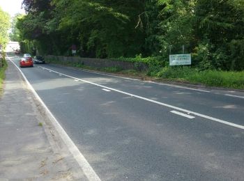
• Que du hors piste !!!
Senderismo
• LOST IN WALES, j'ai tourné en rond !!! HS !
Senderismo
• J'ai traversé une rivière et j'ai pris un bain !!!

Senderismo
• Que du hors piste !!!

Senderismo
• J'ai traversé une rivière et j'ai pris un bain !!!
Senderismo
• Belle montagne descente un peu longue

Senderismo
• Belle montagne descente un peu longue
Raquetas de nieve
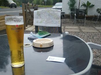
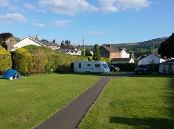
• Je vais bien dormir
Deportes de invierno
• Plutôt sympa vous ne trouvez pas ?
12 excursiones mostradas en 12
Aplicación GPS de excursión GRATIS
 SityTrail
IGN / Institutos geográficos
SityTrail World
El mundo es suyo