


14,1 km | 21 km-effort
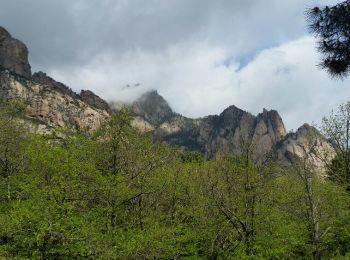
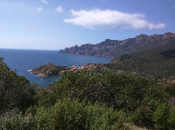
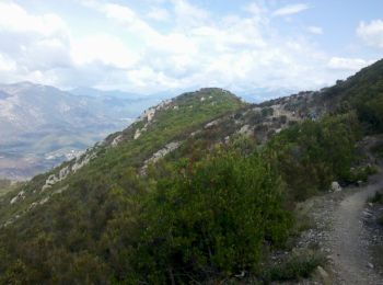
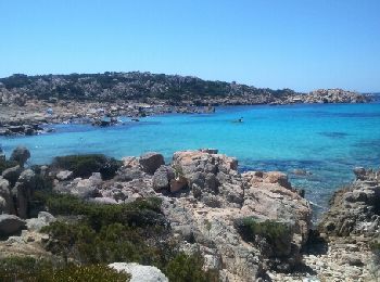
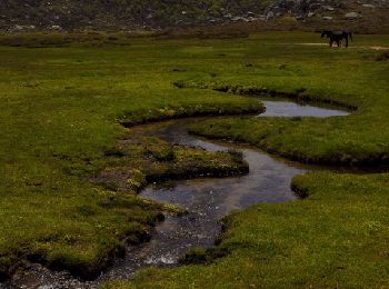
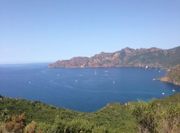
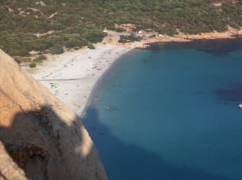
Córcega del Sur: Descubra las mejores excursiones: 1.564 a pie, 177 en bici o bici de montaña y 2 recorridos ecuestres. Todos estos circuitos, recorridos, itinerarios y actividades al aire libre están disponibles en nuestras aplicaciones SityTrail para smartphone y tablet.

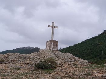
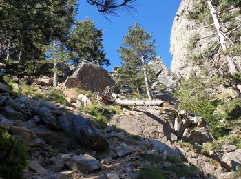
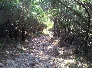
Senderismo


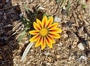
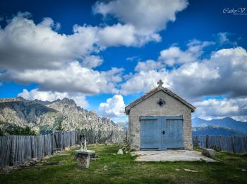
Senderismo
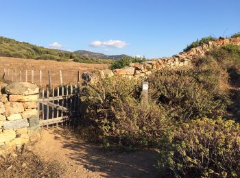
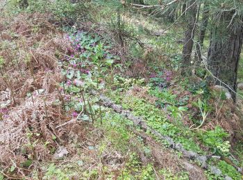
Senderismo
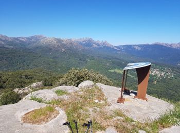
Senderismo
Senderismo
Senderismo
A pie
Senderismo
Senderismo
• Très belle étape avec des paysages variés. La variante par la 'Punta di a Cuciurpula' vaut le coup: Très belle vue à ...
Senderismo
Senderismo
• Boucle au départ du col jusqu'à Girolztta, retour par le sentier côtier
Senderismo
Senderismo
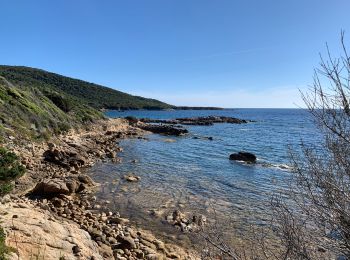
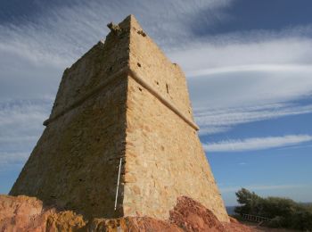
• balade littoral
Senderismo
• Boucle - Départ depuis le refuge de Bucchinera vers les bergeries de Chiralbella, remontée vers le GR 20 et le sommet...
Senderismo
Senderismo
•
Senderismo
Senderismo

Senderismo
Senderismo
20 excursiones mostradas en 1964
Aplicación GPS de excursión GRATIS
 SityTrail
IGN / Institutos geográficos
SityTrail World
El mundo es suyo