


26 km | 31 km-effort
Noth: Descubra las mejores excursiones: 3 a pie, 2 en bici o bici de montaña y 6 recorridos ecuestres. Todos estos circuitos, recorridos, itinerarios y actividades al aire libre están disponibles en nuestras aplicaciones SityTrail para smartphone y tablet.

Caballo


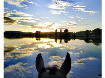
Paseo ecuestre
Enganche
• Cet itinéraire fait parti de la collection de EquiLiberté : www.equiliberte.org Circuit ACCESSIBLE aux attelages
Paseo ecuestre

Senderismo
• marche
Enganche
Paseo ecuestre

Bici de montaña
Bici de montaña
Senderismo

Marcha nórdica
11 excursiones mostradas en 11
Aplicación GPS de excursión GRATIS
 SityTrail
IGN / Institutos geográficos
SityTrail World
El mundo es suyo