


36 km | 39 km-effort
La Tremblade: Descubra las mejores excursiones: 75 a pie y 18 en bici o bici de montaña. Todos estos circuitos, recorridos, itinerarios y actividades al aire libre están disponibles en nuestras aplicaciones SityTrail para smartphone y tablet.
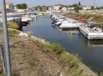
Bicicleta


Senderismo
Senderismo
Senderismo

Carrera

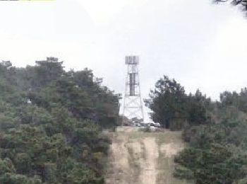
Senderismo

Bici de montaña
Senderismo
Senderismo
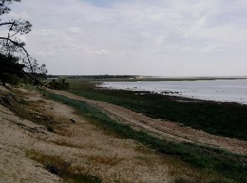
• Parking LAT 45.7665 LON -1.2135 DMS : N45°45'59.4" O 1°12'48.6"
Senderismo
Senderismo

Senderismo
Senderismo
•
Bici de montaña

Bicicleta híbrida
Senderismo

Senderismo

Senderismo
Senderismo
Senderismo
20 excursiones mostradas en 95
Aplicación GPS de excursión GRATIS
 SityTrail
IGN / Institutos geográficos
SityTrail World
El mundo es suyo