


4 km | 5,1 km-effort
Buzy: Descubra las mejores excursiones: 23 a pie y 1 en bici o bici de montaña. Todos estos circuitos, recorridos, itinerarios y actividades al aire libre están disponibles en nuestras aplicaciones SityTrail para smartphone y tablet.
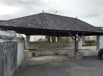
A pie


• Trail created by Communauté de Communes de la Vallée d’Ossau. Symbol: yellow Sitio web: https://www.valleedossau-t...
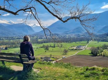
A pie
• Trail created by Communauté de Communes de la Vallée d’Ossau. Symbol: yellow Sitio web: https://www.valleedossau-t...

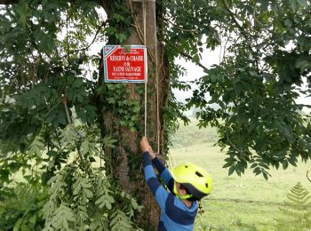
A pie
Senderismo
Bici de montaña
Senderismo

Senderismo
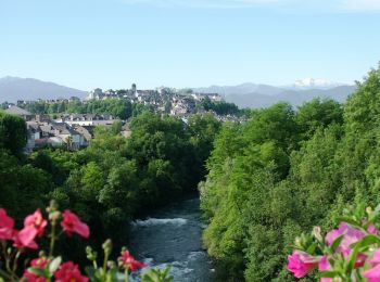
A pie
A pie
Senderismo
Senderismo
• Distance: 8.784 km Time: 1 hour, 56 minutes, 15 seconds Average Speed: 4.534 km/hour http://pathtracks.com/users/3132...
Senderismo
• Distance: 8.784 km Time: 1 hour, 56 minutes, 15 seconds Average Speed: 4.534 km/hour http://pathtracks.com/users/3132...
Senderismo
A pie
Senderismo
Senderismo
Senderismo
Senderismo
Senderismo
Senderismo
20 excursiones mostradas en 24
Aplicación GPS de excursión GRATIS
 SityTrail
IGN / Institutos geográficos
SityTrail World
El mundo es suyo