


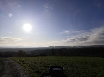
17,1 km | 23 km-effort
Le Hom: Descubra las mejores excursiones: 46 a pie y 20 en bici o bici de montaña. Todos estos circuitos, recorridos, itinerarios y actividades al aire libre están disponibles en nuestras aplicaciones SityTrail para smartphone y tablet.

A pie


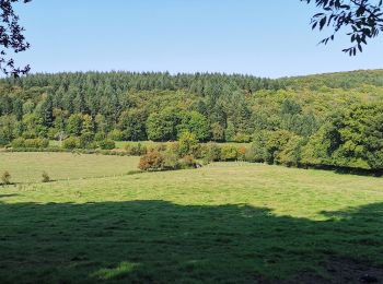
Senderismo

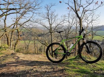
Bici de montaña
Senderismo
Bici de montaña
Senderismo
Senderismo
Senderismo

 110.517
sport
• Cette randonnée pédestre en itinérance vous emmènera découvrir les sites les plus emblématiques de la Suisse Normande...

A pie
Senderismo
A pie
A pie
A pie
Senderismo
Senderismo
Bici de montaña
Senderismo

Cicloturismo
Bici de montaña
• Jour 2/14 d'une rando Cabourg-Bordeaux. Sur l'ensemble du parcours, la majorité du tracé est en macadam avec plusieur...
20 excursiones mostradas en 79
Aplicación GPS de excursión GRATIS
 SityTrail
IGN / Institutos geográficos
SityTrail World
El mundo es suyo