


22 km | 26 km-effort
Néant-sur-Yvel: Descubra las mejores excursiones: 9 a pie, 3 en bici o bici de montaña y 2 recorridos ecuestres. Todos estos circuitos, recorridos, itinerarios y actividades al aire libre están disponibles en nuestras aplicaciones SityTrail para smartphone y tablet.
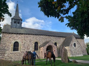
Paseo ecuestre


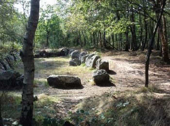
Senderismo
Senderismo
Senderismo

Senderismo
• Portion de route importante du Chêne de Guillotin à Paimpont.

Bici de montaña

 8.18
8.18
sport
Bicicleta
Bicicleta
Senderismo
Senderismo

Paseo ecuestre
Senderismo
13 excursiones mostradas en 13
Aplicación GPS de excursión GRATIS
 SityTrail
IGN / Institutos geográficos
SityTrail World
El mundo es suyo