


11,5 km | 13,8 km-effort
Nivillac: Descubra las mejores excursiones: 6 a pie y 4 en bici o bici de montaña. Todos estos circuitos, recorridos, itinerarios y actividades al aire libre están disponibles en nuestras aplicaciones SityTrail para smartphone y tablet.
Senderismo


Senderismo
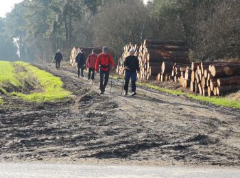
Senderismo

Bici de montaña
• 03-06-2018 - Rando organisée - Seul

Senderismo
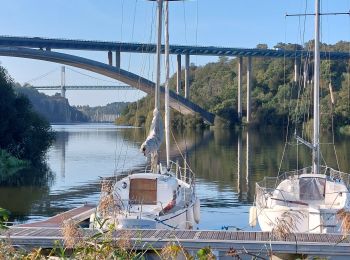
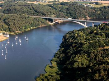
• Départ du Port de plaisance de Foleux Grande Boucle 10km, 2h30 Petite Boucle 5km, 1h15 Ce circuit vous entrainera sur...

Motor
Bici de montaña
Senderismo
Bici de montaña
Bici de montaña

 28.062
sport
Senderismo
12 excursiones mostradas en 12
Aplicación GPS de excursión GRATIS
 SityTrail
IGN / Institutos geográficos
SityTrail World
El mundo es suyo