


13,2 km | 16,4 km-effort
Plomodiern: Descubra las mejores excursiones: 37 a pie y 4 en bici o bici de montaña. Todos estos circuitos, recorridos, itinerarios y actividades al aire libre están disponibles en nuestras aplicaciones SityTrail para smartphone y tablet.
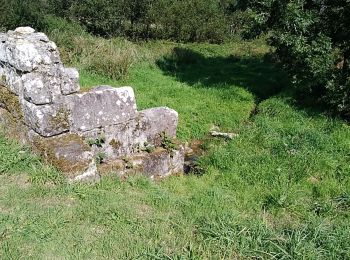
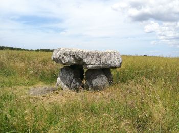
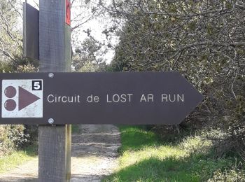
Senderismo


Senderismo
• Bonne petite balade avec le Ménez-Hom et Hielc'h.
Bici de montaña
Senderismo
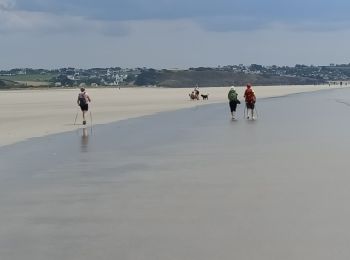
Marcha nórdica
Senderismo
Senderismo

Senderismo
• Les hauts de Dineault rallongé

Senderismo
• Les hauts de Dineault rallongé

Senderismo

Senderismo

Senderismo
Senderismo
Senderismo
Senderismo
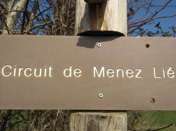
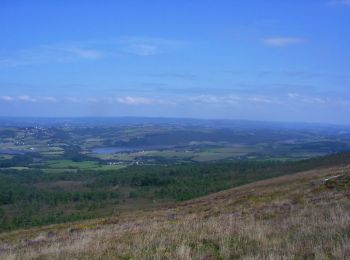
• suivre les balises jaunes . magnifique point de vue au sommet du menez hom
Senderismo
• Circuit n°23 du topo guide la presqu'île de Crozon à pied (FFRP)
Senderismo
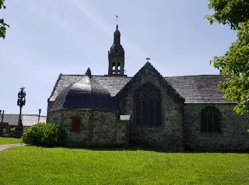
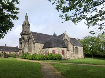
• Joli tour avec une vue magnifique sur la baie de Douarnenez et le joli patrimoine de Ste Marie du Ménez Hom A faire a...

Bici de montaña
• More information on GPStracks.nl : http://www.gpstracks.nl
Senderismo
• De la mer au sommet du Menez Hom
Senderismo
20 excursiones mostradas en 42
Aplicación GPS de excursión GRATIS
 SityTrail
IGN / Institutos geográficos
SityTrail World
El mundo es suyo