


17,4 km | 29 km-effort
Mazamet: Descubra las mejores excursiones: 105 a pie y 15 en bici o bici de montaña. Todos estos circuitos, recorridos, itinerarios y actividades al aire libre están disponibles en nuestras aplicaciones SityTrail para smartphone y tablet.
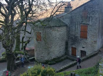
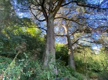
Senderismo


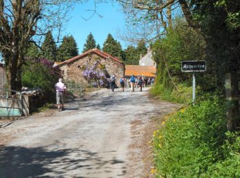
Senderismo
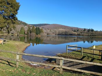
Senderismo
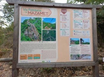
Senderismo
Senderismo

Senderismo
Senderismo
Senderismo
Senderismo
Senderismo
Senderismo
Senderismo

Bicicleta
• Petites routes à l'ombre très agreables
Bicicleta
 4.655
4.655
sport
Senderismo
 2.298
2.298
sport
Senderismo
Senderismo
Senderismo
20 excursiones mostradas en 124
Aplicación GPS de excursión GRATIS
 SityTrail
IGN / Institutos geográficos
SityTrail World
El mundo es suyo