


10,3 km | 14,5 km-effort
Saint-Julien-du-Tournel: Descubra las mejores excursiones: 6 a pie, 1 en bici o bici de montaña y 2 recorridos ecuestres. Todos estos circuitos, recorridos, itinerarios y actividades al aire libre están disponibles en nuestras aplicaciones SityTrail para smartphone y tablet.

Otra actividad


•
Caballo
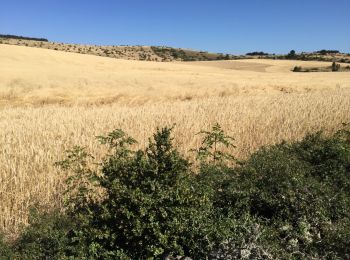
• On commence par revenir sur nos pas par la fin de la boucle précédente, puis on continue par les pinèdes, les campagn...

Caballo
• On commence par revenir sur nos pas par la fin de la boucle précédente, puis on continue par les pinèdes, les campagn...
A pie
A pie

Senderismo

Bici de montaña
Senderismo
• Fabuleuse
Senderismo
Senderismo
10 excursiones mostradas en 10
Aplicación GPS de excursión GRATIS
 SityTrail
IGN / Institutos geográficos
SityTrail World
El mundo es suyo