


8,4 km | 12,2 km-effort
Barjac: Descubra las mejores excursiones: 13 a pie. Todos estos circuitos, recorridos, itinerarios y actividades al aire libre están disponibles en nuestras aplicaciones SityTrail para smartphone y tablet.

Senderismo


Senderismo
Senderismo
Senderismo

 7.891
7.891
sport
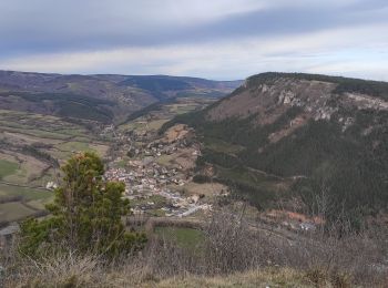
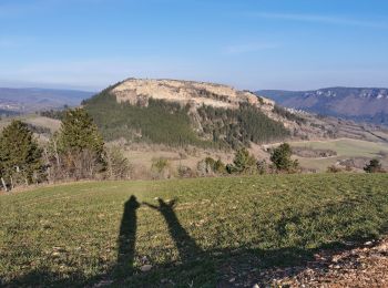
• Circuit vallonné entre Barjac et Cenaret Fléchage jaune Apres le panorama à la vierge blanche le circuit après la r...

Carrera
• traking
Carrera
• traking

Otra actividad
• reco
A pie

Senderismo
Senderismo
Senderismo
Senderismo
Senderismo
Senderismo
15 excursiones mostradas en 15
Aplicación GPS de excursión GRATIS
 SityTrail
IGN / Institutos geográficos
SityTrail World
El mundo es suyo