


12,7 km | 27 km-effort
Montségur: Descubra las mejores excursiones: 40 a pie y 2 en bici o bici de montaña. Todos estos circuitos, recorridos, itinerarios y actividades al aire libre están disponibles en nuestras aplicaciones SityTrail para smartphone y tablet.
Senderismo


Senderismo
Senderismo
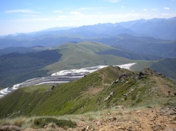
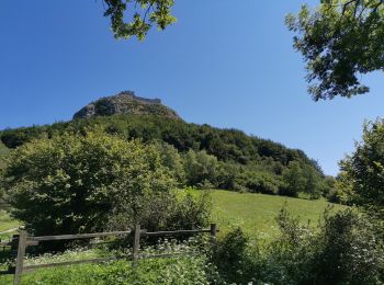
• Grande boucle pour aller à la Frau. Montée par le Lasset et la jasse de Pratmau. Col de la peyre et la Frau. Redescen...
Senderismo
Senderismo
Otra actividad
Senderismo
Senderismo

Bici de montaña
Senderismo

Senderismo
Senderismo
Senderismo
Senderismo
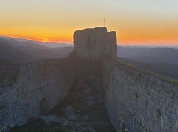
• belle
Senderismo
Senderismo
Senderismo
Senderismo
Senderismo
Senderismo
20 excursiones mostradas en 43
Aplicación GPS de excursión GRATIS
 SityTrail
IGN / Institutos geográficos
SityTrail World
El mundo es suyo