


9,2 km | 19,5 km-effort
Le Port: Descubra las mejores excursiones: 41 a pie, 2 en bici o bici de montaña y 3 recorridos ecuestres. Todos estos circuitos, recorridos, itinerarios y actividades al aire libre están disponibles en nuestras aplicaciones SityTrail para smartphone y tablet.
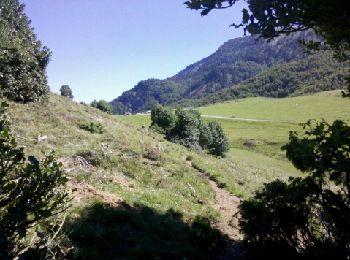
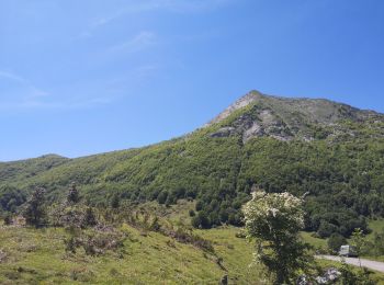
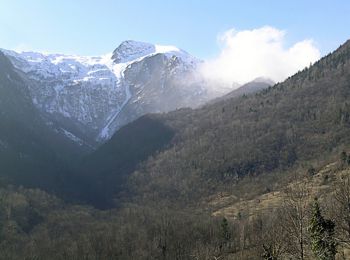
Senderismo


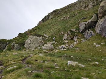
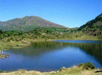
Senderismo
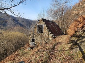
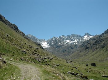
Senderismo
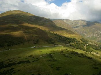
Senderismo

Senderismo
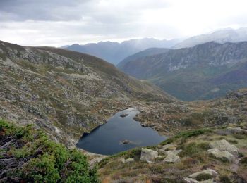
• sentier n°18

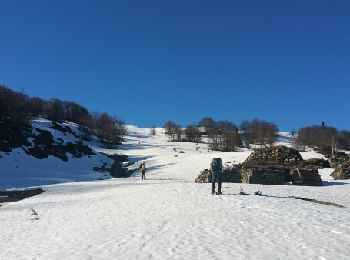
Raquetas de nieve
Senderismo
• sentier n°18 reconnaissance
Senderismo
Senderismo
Senderismo
Senderismo

Raquetas de nieve
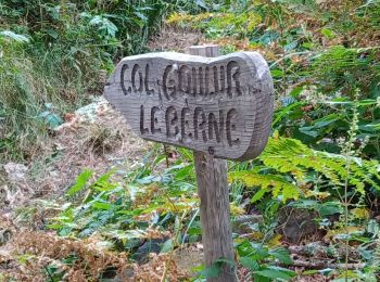
• en boucle
Caballo
Caballo
Caballo
Bici de montaña

Senderismo

 12.682
sport
• sentier n°18 reconnaissance
Senderismo
Senderismo
20 excursiones mostradas en 52
Aplicación GPS de excursión GRATIS
 SityTrail
IGN / Institutos geográficos
SityTrail World
El mundo es suyo