


17,4 km | 37 km-effort
Oô: Descubra las mejores excursiones: 87 a pie. Todos estos circuitos, recorridos, itinerarios y actividades al aire libre están disponibles en nuestras aplicaciones SityTrail para smartphone y tablet.

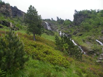
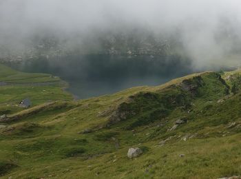
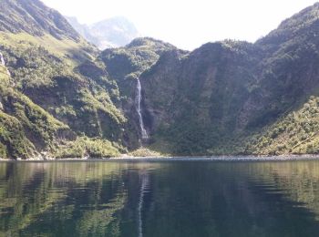
Senderismo


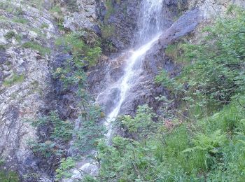
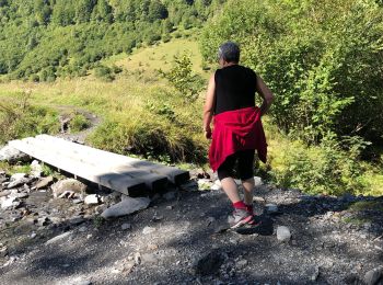
Senderismo

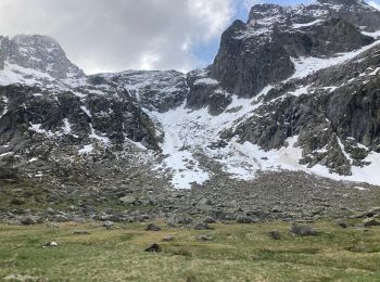
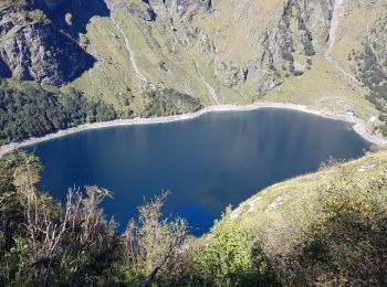
Senderismo
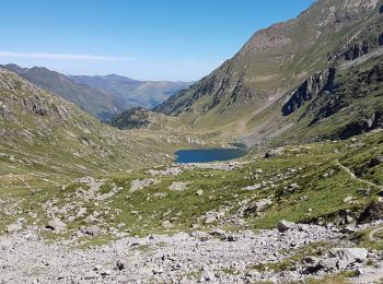
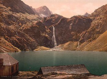
• En 2 jours, nuit au refuge du Portillon
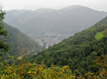
Senderismo
A pie
Senderismo
Senderismo
Senderismo

 13.95
13.95
sport
Senderismo
 21.646
sport
Senderismo
Senderismo
Senderismo
Senderismo
Senderismo

Senderismo
Senderismo
Senderismo
Senderismo
20 excursiones mostradas en 95
Aplicación GPS de excursión GRATIS
 SityTrail
IGN / Institutos geográficos
SityTrail World
El mundo es suyo