


21 km | 24 km-effort
Tolosa: Descubra las mejores excursiones: 202 a pie y 115 en bici o bici de montaña. Todos estos circuitos, recorridos, itinerarios y actividades al aire libre están disponibles en nuestras aplicaciones SityTrail para smartphone y tablet.
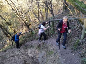
Senderismo


Bicicleta
Cicloturismo
Senderismo

Senderismo

Senderismo
Bicicleta

Senderismo
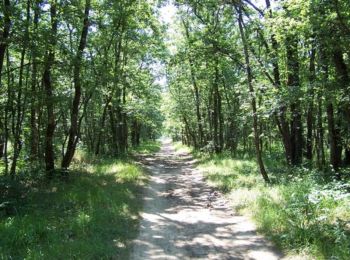
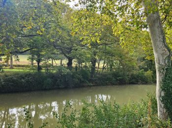
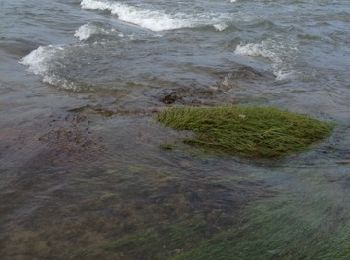
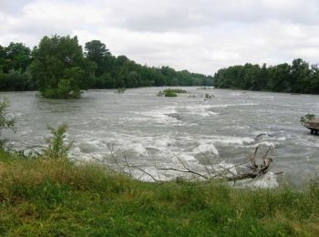
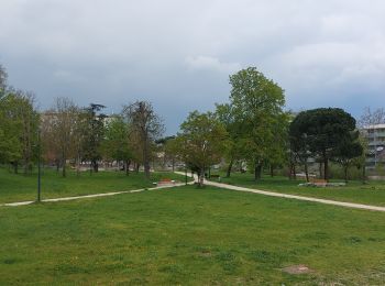
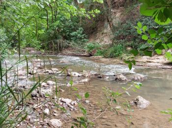
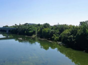
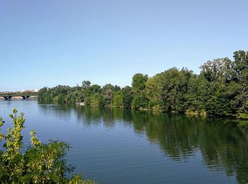
• Toulouse - Gagnac - Beauzelle par la Rive Droite de la Garonne. Chemin très nature presque toujours en bordure Garo...
Senderismo
• Toulouse - Gagnac - Beauzelle par la Rive Droite de la Garonne. Chemin très nature presque toujours en bordure Garo...
Bici de montaña
Senderismo
Senderismo
Senderismo
Senderismo
• TT 22

Senderismo
Senderismo
• TT 22
Senderismo

Senderismo
Senderismo
Senderismo
20 excursiones mostradas en 332
Aplicación GPS de excursión GRATIS
 SityTrail
IGN / Institutos geográficos
SityTrail World
El mundo es suyo