


13,1 km | 19,5 km-effort
Lasalle: Descubra las mejores excursiones: 23 a pie y 2 en bici o bici de montaña. Todos estos circuitos, recorridos, itinerarios y actividades al aire libre están disponibles en nuestras aplicaciones SityTrail para smartphone y tablet.

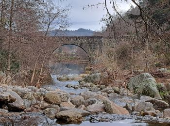
Senderismo


Senderismo
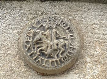
• LASALLE - SAINTE-CROIX-DE-CADERLE – CALVIAC 8.3Km - 02h30 Départ randonnée : Village de Lasalle (Gard 30) Randonnée ...
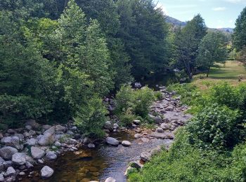
Senderismo

Senderismo
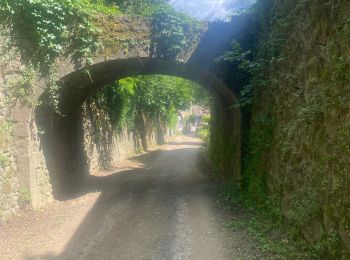
Senderismo
Senderismo
Senderismo
Senderismo
Senderismo
Senderismo

 57.048
sport
Senderismo
Senderismo
Senderismo
Senderismo
Senderismo
Senderismo
Senderismo
Senderismo

Bici de carretera
20 excursiones mostradas en 29
Aplicación GPS de excursión GRATIS
 SityTrail
IGN / Institutos geográficos
SityTrail World
El mundo es suyo