


10,5 km | 18,1 km-effort
Olette: Descubra las mejores excursiones: 16 a pie, 2 en bici o bici de montaña y 2 recorridos ecuestres. Todos estos circuitos, recorridos, itinerarios y actividades al aire libre están disponibles en nuestras aplicaciones SityTrail para smartphone y tablet.
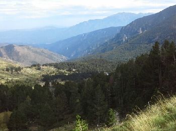
Senderismo


Senderismo
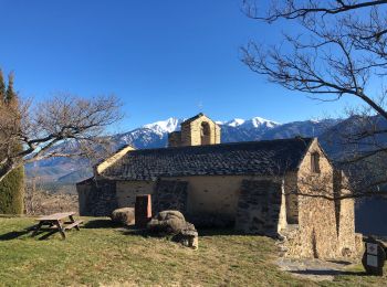
Senderismo
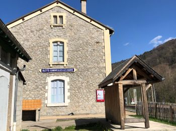
Senderismo
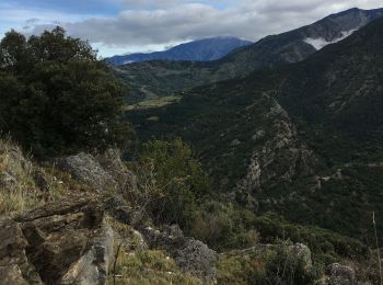
Senderismo

Senderismo
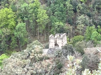
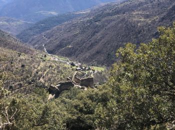
• Pas de difficulté majeure. Dénivelé +904m dénivelé - 897m. Un très bel Orri sur le retour et le château d'Evol qui mé...
 10.614
sport
Senderismo
Senderismo
Senderismo
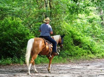
Caballo
Senderismo

Paseo ecuestre
Senderismo
• Olette ty
Senderismo

Parapente
Parapente
Senderismo
Senderismo
Senderismo
20 excursiones mostradas en 24
Aplicación GPS de excursión GRATIS
 SityTrail
IGN / Institutos geográficos
SityTrail World
El mundo es suyo