


10,8 km | 19,6 km-effort
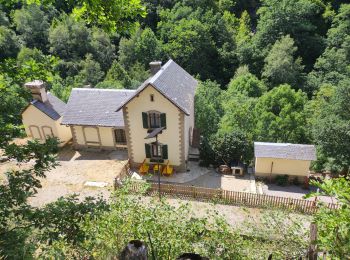
Planès: Descubra las mejores excursiones: 36 a pie. Todos estos circuitos, recorridos, itinerarios y actividades al aire libre están disponibles en nuestras aplicaciones SityTrail para smartphone y tablet.
Senderismo


• montée raide en foret.Aller retour vers l'étang facile et joli. retour agréable en foret
Senderismo
Senderismo

Senderismo
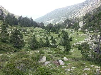
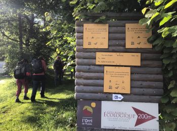
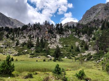
• Départ de Planès. monter jusqu à l.orri puis continuer vers l étang puis monter jusqu'à la Conca. très belle rando

Senderismo
• Départ de Planès. monter jusqu à l.orri puis continuer vers l étang puis monter jusqu'à la Conca. très belle rando
Senderismo
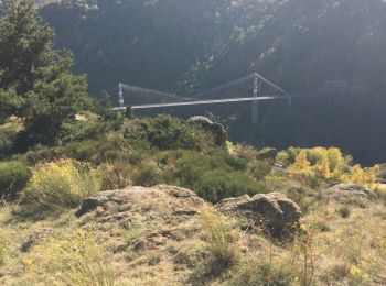
• En passant par Mont-Louis
Senderismo
Senderismo

Senderismo
Senderismo
Senderismo
Senderismo
• Départ de Planès les cascarols très jolie boucle
Senderismo
Senderismo
Senderismo
Senderismo
Senderismo
Senderismo
Senderismo
Senderismo
20 excursiones mostradas en 36
Aplicación GPS de excursión GRATIS
 SityTrail
IGN / Institutos geográficos
SityTrail World
El mundo es suyo