


13,2 km | 21 km-effort
Les Aires: Descubra las mejores excursiones: 25 a pie y 10 en bici o bici de montaña. Todos estos circuitos, recorridos, itinerarios y actividades al aire libre están disponibles en nuestras aplicaciones SityTrail para smartphone y tablet.

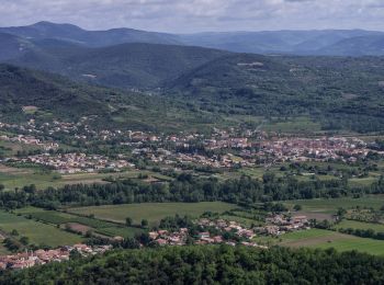
Senderismo


A pie
• Sitio web: http://randonnee.cevenole.free.fr/index.php5?modele=Coquillade&vue=topo
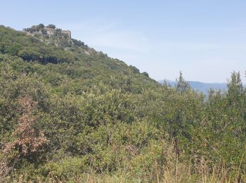
Senderismo
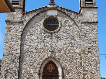
Senderismo

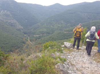
Senderismo
Senderismo
Senderismo
• Vraiment une très belle rando (Voir Photos) à faire absolument si vous êtes dans le coin. idéale pour l'été avec tous...
Bicicleta
• Montée de l'espinousse par Poujol, assez difficile jusqu'à Combes puis plus facile. 23kms de montée. Très beaux poin...
Bicicleta
• La croix de mounis par st gervais, puis le sommet de l'espinousse. Départ de Lamalou les bains
Senderismo
Senderismo

Bicicleta
• montée de plaussenous, 6kms, puis aucune difficultés jusqu'à Cessenon sur orb, puis assez valonné jusqu'à Faugères
Bicicleta
Senderismo
Senderismo

Bici de montaña
• les mégalithes barbares
Senderismo
Bicicleta
• More information on GPStracks.nl : http://www.gpstracks.nl
Senderismo
• Difficile par temps de pluie car pierres glissantes
Bicicleta
• par le col de la pierre plantee, st gervais, la tour sur orb.
20 excursiones mostradas en 38
Aplicación GPS de excursión GRATIS
 SityTrail
IGN / Institutos geográficos
SityTrail World
El mundo es suyo