


10 km | 16 km-effort
Gorniès: Descubra las mejores excursiones: 26 a pie. Todos estos circuitos, recorridos, itinerarios y actividades al aire libre están disponibles en nuestras aplicaciones SityTrail para smartphone y tablet.
Senderismo


Senderismo
Senderismo
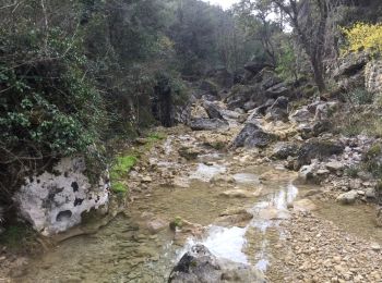
• Depart de Gornies (parking) possibilité de contourner le sommet
Senderismo
• 10/04/2015
Senderismo
Senderismo

Senderismo
Senderismo
Senderismo
• voir des photos et d'autres circuits sur www.vertygo.org https://goo.gl/photos/3PhbvhggxuTsJ2tX9
Senderismo
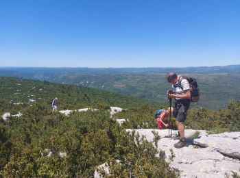
• superbe rando
Senderismo
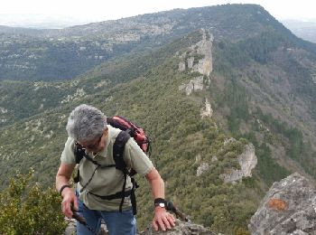
• L' ESCOUTET – GORNIES - PIC D ANJEAU 12.7Km - 05h30 Départ randonnée : Place de la mairie de L'Escoutet Gorniès au bo...
Senderismo
Senderismo

A pie
Senderismo

 16.519
sport
Senderismo
Senderismo
Senderismo
Senderismo
20 excursiones mostradas en 27
Aplicación GPS de excursión GRATIS
 SityTrail
IGN / Institutos geográficos
SityTrail World
El mundo es suyo