


13,4 km | 16,9 km-effort
Raissac-sur-Lampy: Descubra las mejores excursiones: 14 a pie. Todos estos circuitos, recorridos, itinerarios y actividades al aire libre están disponibles en nuestras aplicaciones SityTrail para smartphone y tablet.
Senderismo


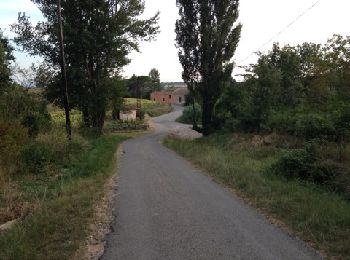
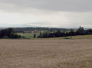
• A variation on the Raissac -> La Migance -> Villelongue route. Plenty of height. Unusually this walk is in the anticl...

Senderismo
• A variation on the Raissac -> La Migance -> Villelongue route. Plenty of height. Unusually this walk is in the anticl...

Senderismo
• A variation on the Raissac -> La Migance -> Villelongue route. Plenty of height. Unusually this walk is in the anticl...
Senderismo
• Walking with poles: Raissac. St Martin, Villelongue, La Migance, Raissac. This was a test of new, innovative trekkin...

Senderismo
Senderismo
• Les Arbousiers

Otra actividad
•
Otra actividad
•
Senderismo
Senderismo
Senderismo
Senderismo
Senderismo
Senderismo
Senderismo
Senderismo
16 excursiones mostradas en 16
Aplicación GPS de excursión GRATIS
 SityTrail
IGN / Institutos geográficos
SityTrail World
El mundo es suyo