


15,5 km | 26 km-effort
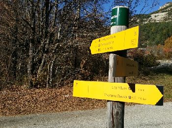
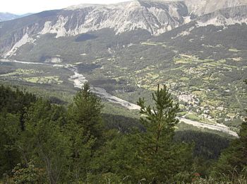
Thorame-Basse: Descubra las mejores excursiones: 29 a pie y 8 en bici o bici de montaña. Todos estos circuitos, recorridos, itinerarios y actividades al aire libre están disponibles en nuestras aplicaciones SityTrail para smartphone y tablet.
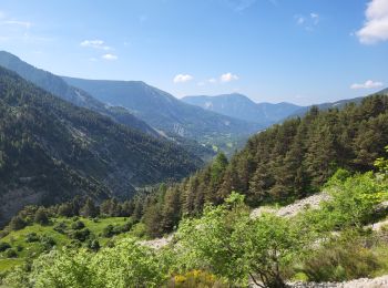
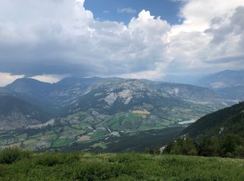
Senderismo


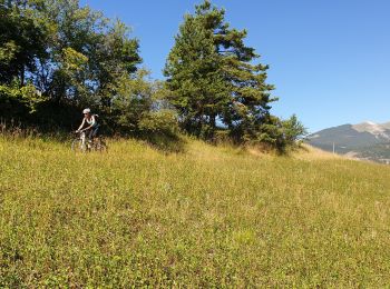
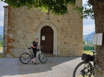
Bici de montaña
Senderismo
Senderismo
Bici de montaña
Senderismo
Bici de montaña
Bici de montaña
Senderismo
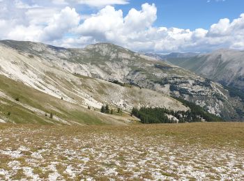
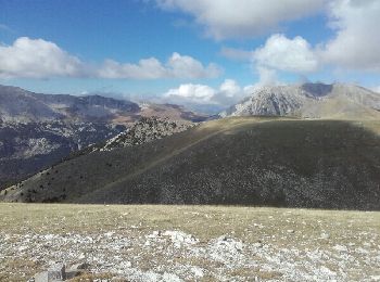
• pic de mal-ubac par la valette, départ piste après thorame-basse
Senderismo
Motor
• Piste 4x4
Carrera
Bici de montaña
Bici eléctrica

Senderismo
Senderismo
Senderismo

A pie
4x4
Senderismo
• trop de route.
20 excursiones mostradas en 45
Aplicación GPS de excursión GRATIS
 SityTrail
IGN / Institutos geográficos
SityTrail World
El mundo es suyo