


15,7 km | 24 km-effort
Auzet: Descubra las mejores excursiones: 19 a pie y 1 en bici o bici de montaña. Todos estos circuitos, recorridos, itinerarios y actividades al aire libre están disponibles en nuestras aplicaciones SityTrail para smartphone y tablet.
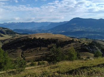
Senderismo


Senderismo
Senderismo
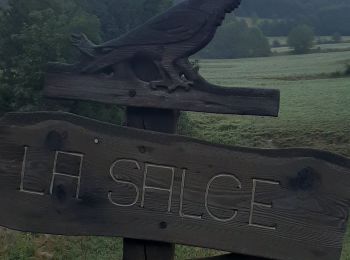
Senderismo
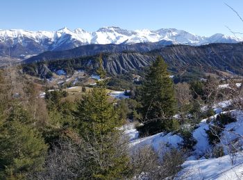
Senderismo
Senderismo
Senderismo

Senderismo
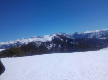
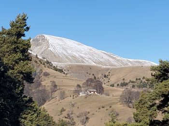
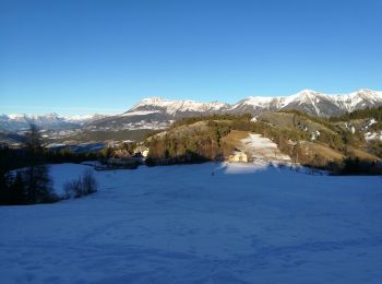
Raquetas de nieve

Raquetas de nieve

Senderismo
Senderismo
Senderismo
Senderismo
• Faite le 30/10/2015 - Rando n°34 du Guide rando des Préalpes de Digne. Décidément l'auteur de cet ouvrage a une conc...
Senderismo
• More information on GPStracks.nl : http://www.gpstracks.nl
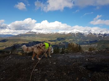
Raquetas de nieve
• Ski de rando Déniv. +1400

Otra actividad
• Ski de rando
Raquetas de nieve
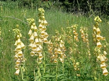
Senderismo
Senderismo
20 excursiones mostradas en 31
Aplicación GPS de excursión GRATIS
 SityTrail
IGN / Institutos geográficos
SityTrail World
El mundo es suyo